Start with a search.
Search by plot number, title reference, or coordinates. Narrow your search by region and district. Sign in to search claimant names.
 CLADTSOpen the app
LAND INFORMATION. A CLEARER START.
Explore land records in Ghana. Understand what has been submitted, see its review status, and know which questions to ask next.
Start searching without an account.
Sign in for published ownership claims and boundaries.
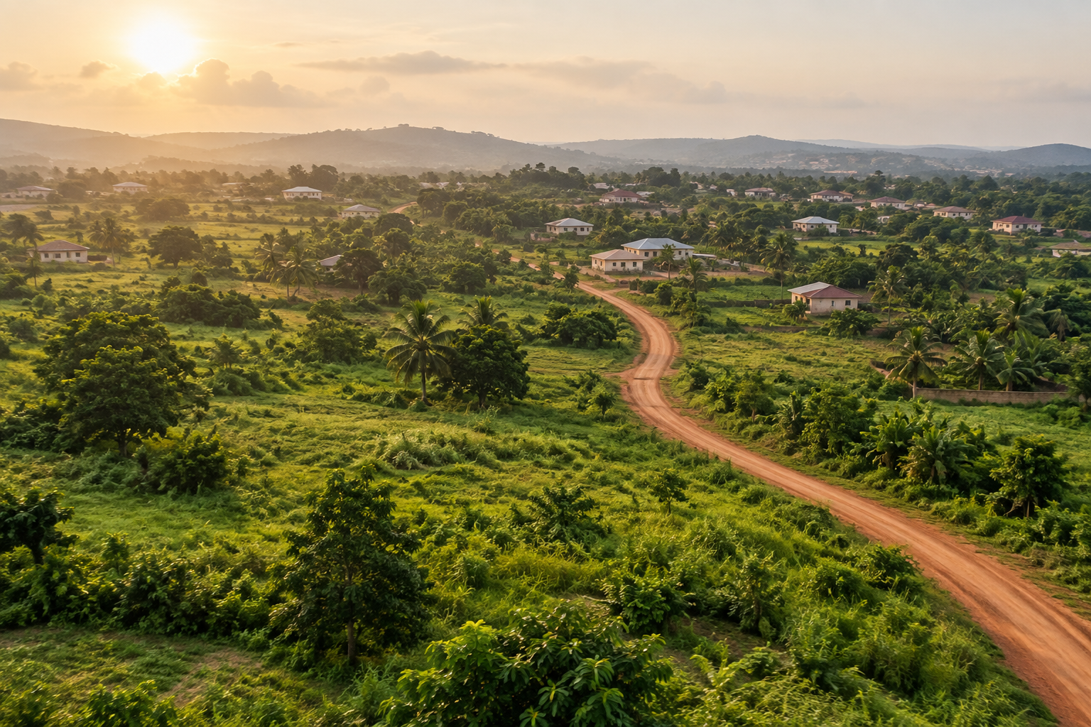
Illustrative landscape · not a land listing
A LITTLE MORE INFORMATION. A BETTER NEXT STEP.
A future home. A family investment. A place to build a business. Whatever land means to you, CLADTS gives you a place to explore submitted information and organise evidence—before you take the next step.
Search by plot number, title reference, or coordinates. Narrow your search by region and district. Sign in to search claimant names.
Read the record and its review status. Signed-in users can view published boundaries and claimant details to help frame their next questions.
Create an account to submit a land record, map its boundary, and attach supporting documents. Follow progress from your workspace.
THE BIG PICTURE
See how searching, understanding, and contributing fit together.
Take a look insideBefore you commit to land, start with clarity. Search land records in Ghana. Understand what was submitted and its review status. Submit a record and supporting evidence. Platform review is not proof of ownership. Start your search at app.cladts.com.
YOUR LAND JOURNEY, YOUR STARTING POINT
Find submitted information and identify questions to raise with the seller and your advisers.
Explore recordsOrganise your record, boundary, and supporting evidence in one workspace for platform review.
Create an accountStart your research from wherever you are, and use what you find to guide conversations on the ground.
Start your researchCLEAR ABOUT OUR ROLE
CLADTS contains user-submitted land claims. “Platform reviewed” means a record has passed platform review; it does not certify legal ownership or guarantee that land is available.
No search result does not mean a parcel is unclaimed. Keep professional advice and official checks part of your decision.
Understand how records are reviewedYes. Guests can explore published records and approximate locations. Create an account and sign in to see published claimant details and boundaries, search by claimant name, and submit records.
No. The platform brings together submitted claims and review information. It is not a government land register, legal opinion, or ownership certificate.
You can enter parcel information, map a boundary, and attach supporting documents, images, or short video files. Your submission stays private until an administrator decides to publish it.
No. Supporting files are restricted to the submitting account and administrators. Published record details have separate access rules: guests see approximate locations, while signed-in users can see published claimant details and boundaries.
Sign in to report a concern about a record. For corrections or help, contact info@cladts.com. Reports are reviewed by an administrator; submitting a report does not automatically change the public record's status.
It means CLADTS has no published record matching your search. Coverage depends on submissions. It does not establish availability, ownership, or the absence of another claim.
YOUR NEXT STEP STARTS HERE
Make land information part of your decision.
Explore CLADTS